Premužić Trail

Interesting things - Premužić Trail
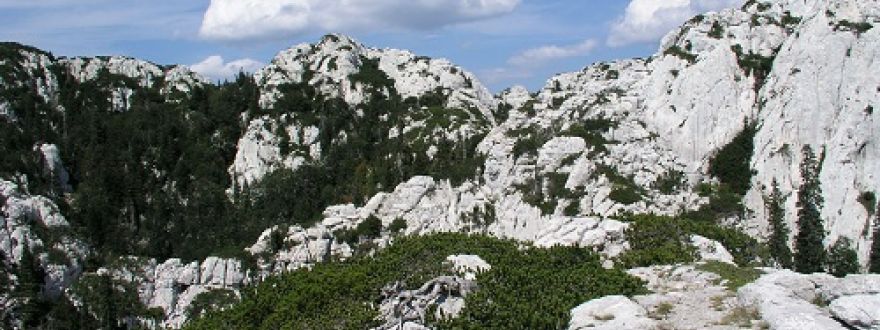
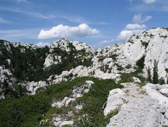
The Premužić Trail is a hiking trail that passes through the peaks of the northern and middle Velebit. The trail is 57 km long, and the first 16 km (8-9 hours of walking) pass through the Northern Velebit National Park. The usual direction of movement is from the north, from the Zavižan mountain hut (1594 m), over the Veliki Alan pass (1412 m) to Oštarijski vrata (927 m). In Željko Poljak's book "50 most beautiful hiking trips in Croatia", only the Premužić trail received the highest rating.
It is to the credit of the organizer, reformer and modernizer of Croatian mountaineering, Ivan Krajač, that engineer Ante Premužić managed to trace this tourist route on Velebit.
The path was built in just four years, from 1930 to 1933, and due to the quality of the construction and its integration into the natural environment, this path represents the pearl of the construction of pedestrian paths in Croatia. It was named after the forestry engineer Anta Premužić (1889-1979), who at the time was a construction officer in the Directorate of Forests in Sušak: he designed it, organized its construction and participated in it. The works were carried out by numerous workers from the villages of Velebit. The construction of the trail enabled access to the most inaccessible and most beautiful parts of Velebit, previously known only to a small number of residents.
It was not built using concrete, cement and modern machines, but the drywall construction technique was used, which was passed down from generation to generation by the inhabitants of the Velebit foothills. It passes through the wildest and most inaccessible Velebit karst with brick serpentines, underwalls, half-tunnels and small bridges. It is laid out in such a way that there are no big climbs, and the height difference between the highest and the lowest point along its entire length is a total of 700 m - the highest point is at 1620 m in the Northern Velebit National Park, and the lowest of 920 m is at its very end, in Baški Oštarije, which belong to PP Velebit. The average slope is 10%, the highest is 20%, and the average width of the track is 1.2 m.
In 2009, the entire length of the Premužić Trail was officially protected as a cultural asset of national importance.


_330_250_80_s_c1.jpg)


_330_250_80_s_c1.jpg)


_330_250_80_s_c1.jpg)
_1_330_250_80_s_c1.jpg)
